 Back to My Projects
HCMC
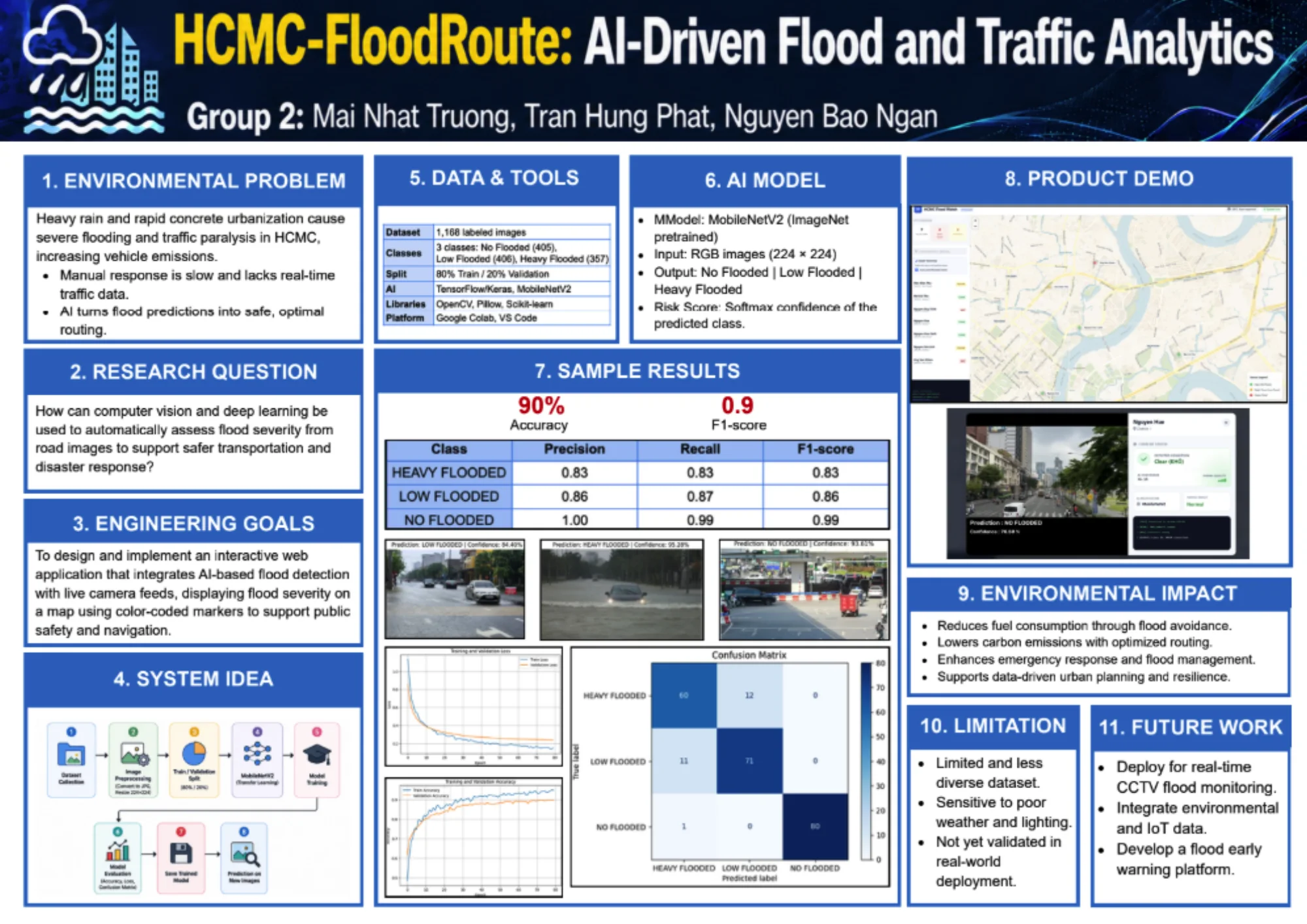
An AI-driven web application that analyzes flood conditions and supports safer transportation and navigation in Ho Chi Minh City.
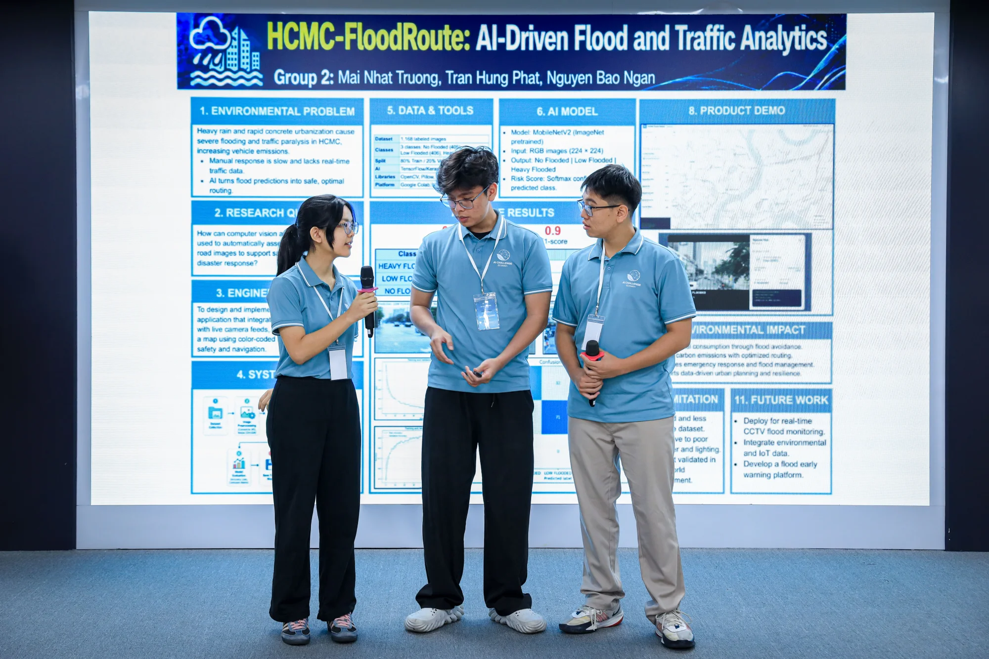
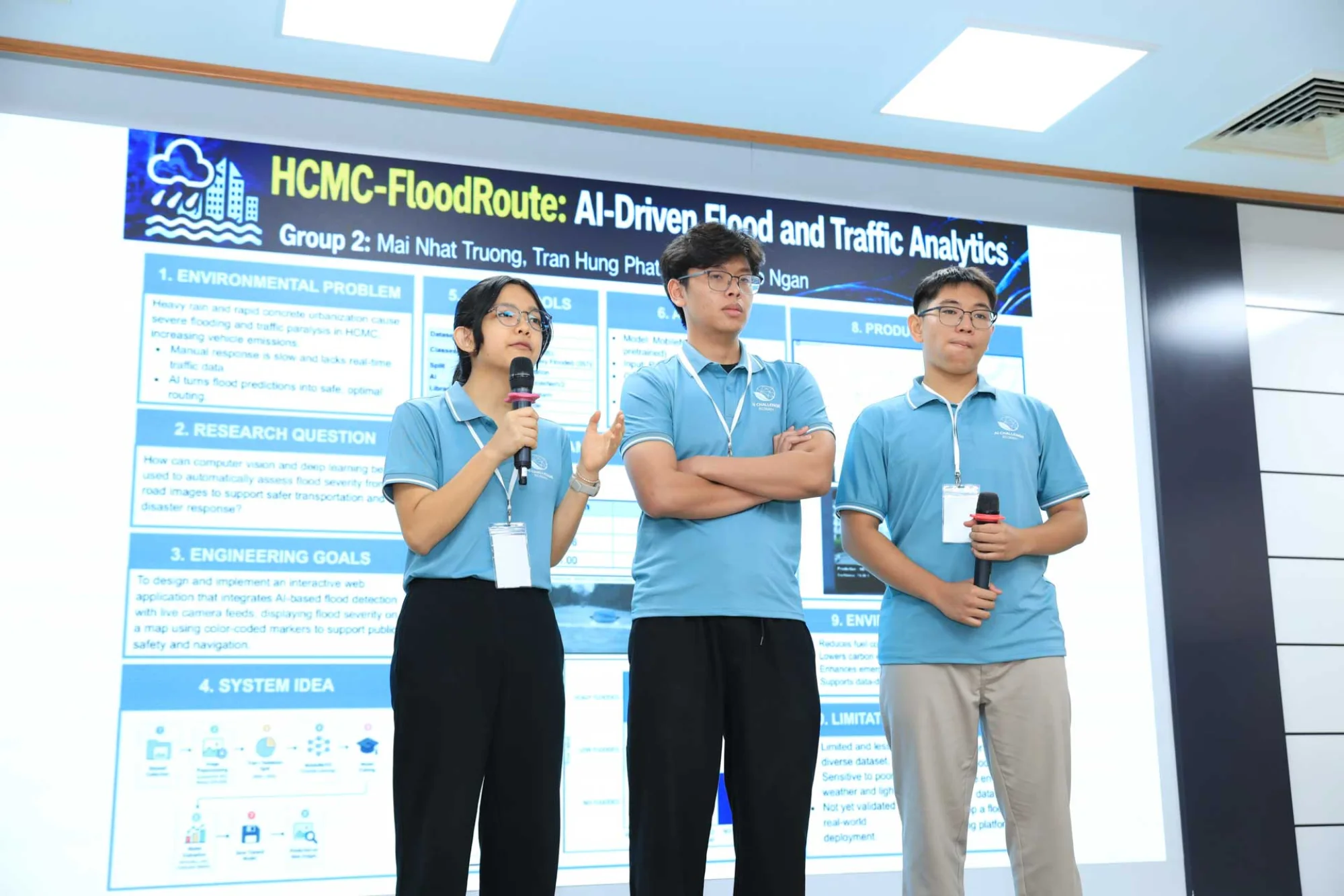
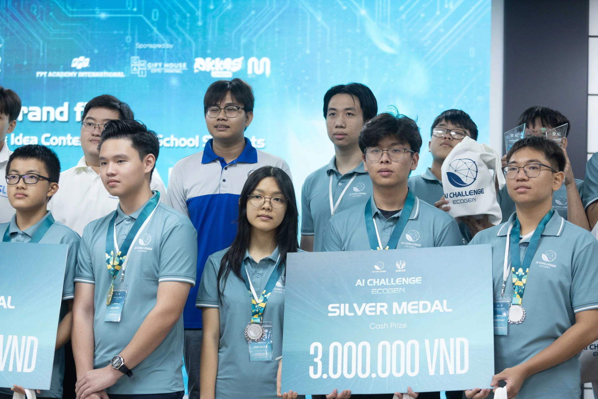
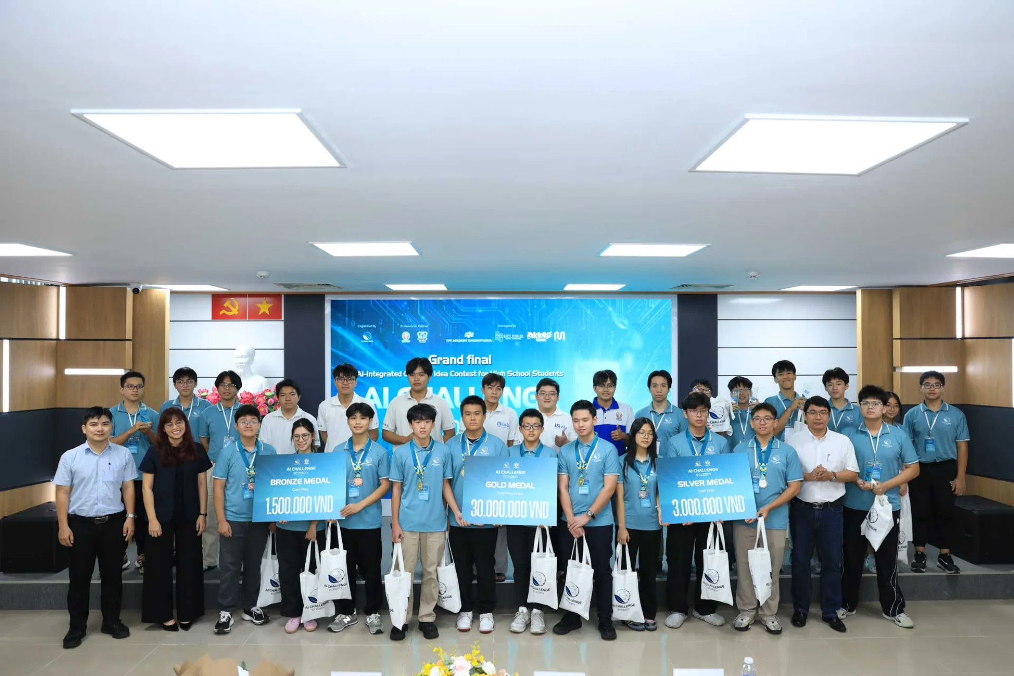
As part of a three-member team, I contributed to the development of HCMC-FloodRoute, an AI-driven web application that analyzes flood conditions and supports safer transportation and navigation in Ho Chi Minh City.
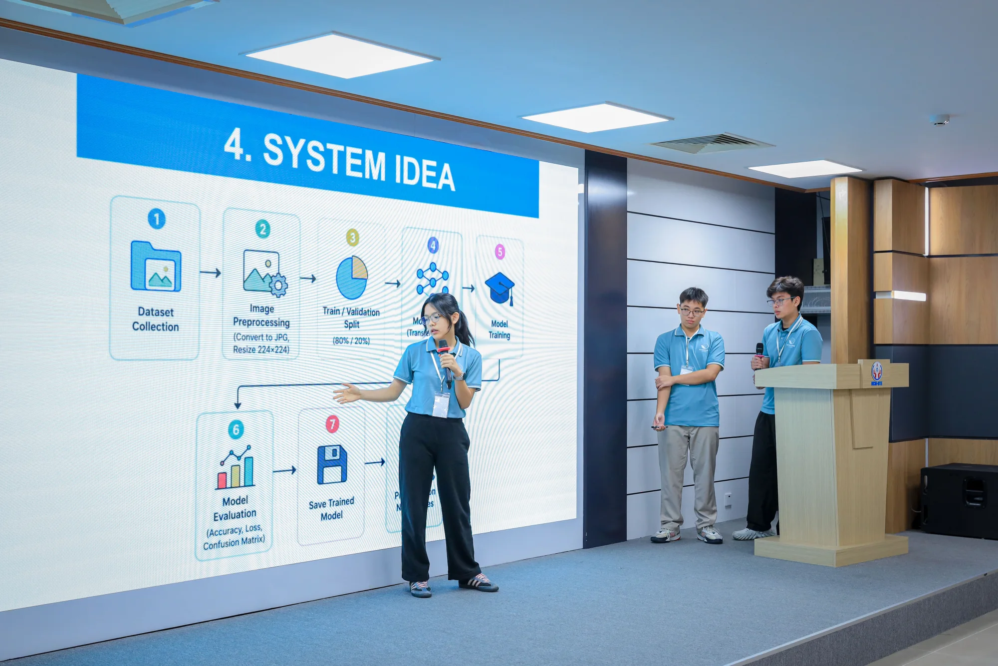
The system uses MobileNetV2 with ImageNet pretraining to classify road images into three flood-severity levels: No Flooding, Low Flooding, and Heavy Flooding. The model achieved 90% accuracy and a 0.90 F1-score.


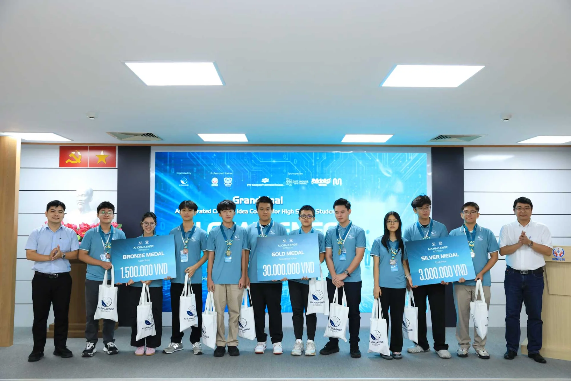
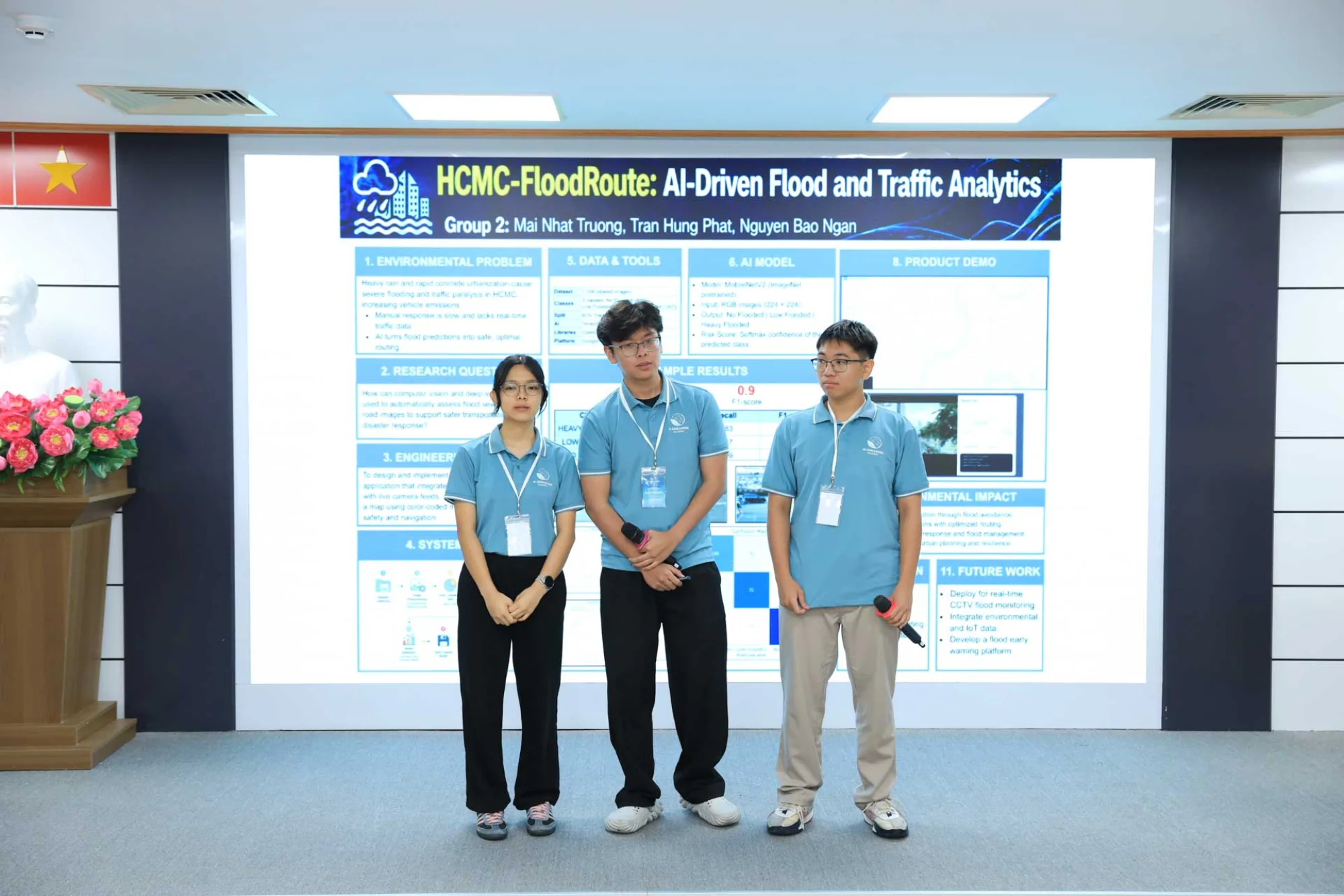
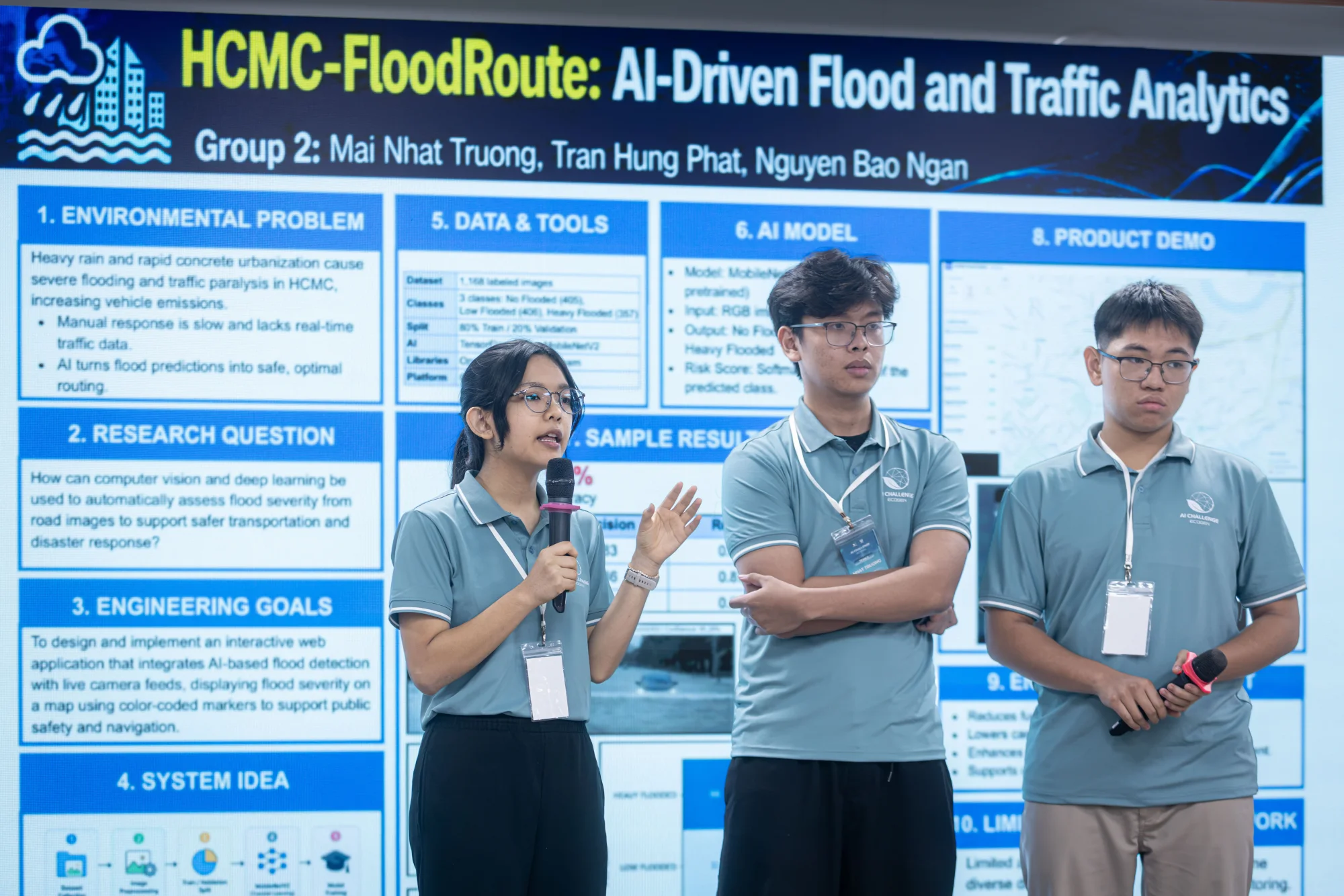
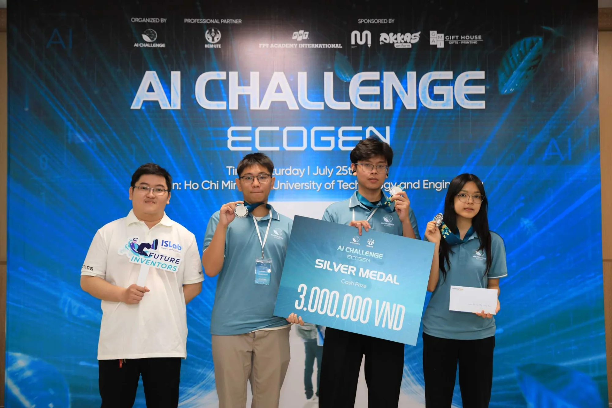
Beyond flood classification, the project explored the potential of AI-powered route planning to reduce fuel consumption and carbon emissions. By integrating computer vision with transportation analysis, HCMC-FloodRoute demonstrates how AI can contribute to flood management, emergency response, and data-driven urban resilience.
Key highlights
 Three-member team project combining computer vision with transportation analysis.
- MobileNetV2 with ImageNet pretraining reached 90% accuracy and a 0.90 F1-score.
- Three flood-severity levels: No Flooding, Low Flooding, and Heavy Flooding.
- AI-powered route planning explored to reduce fuel consumption and carbon emissions.